How AI and remote sensing tech can future-proof global infrastructure
A wide range of AI models, including traditional machine learning techniques and deep learning frameworks like YOLO, CNNs, and U-Net, have been deployed for analyzing road and bridge conditions. These models are trained on diverse datasets that capture types of damage such as cracks, potholes, deflection, and spalling across different infrastructure categories.
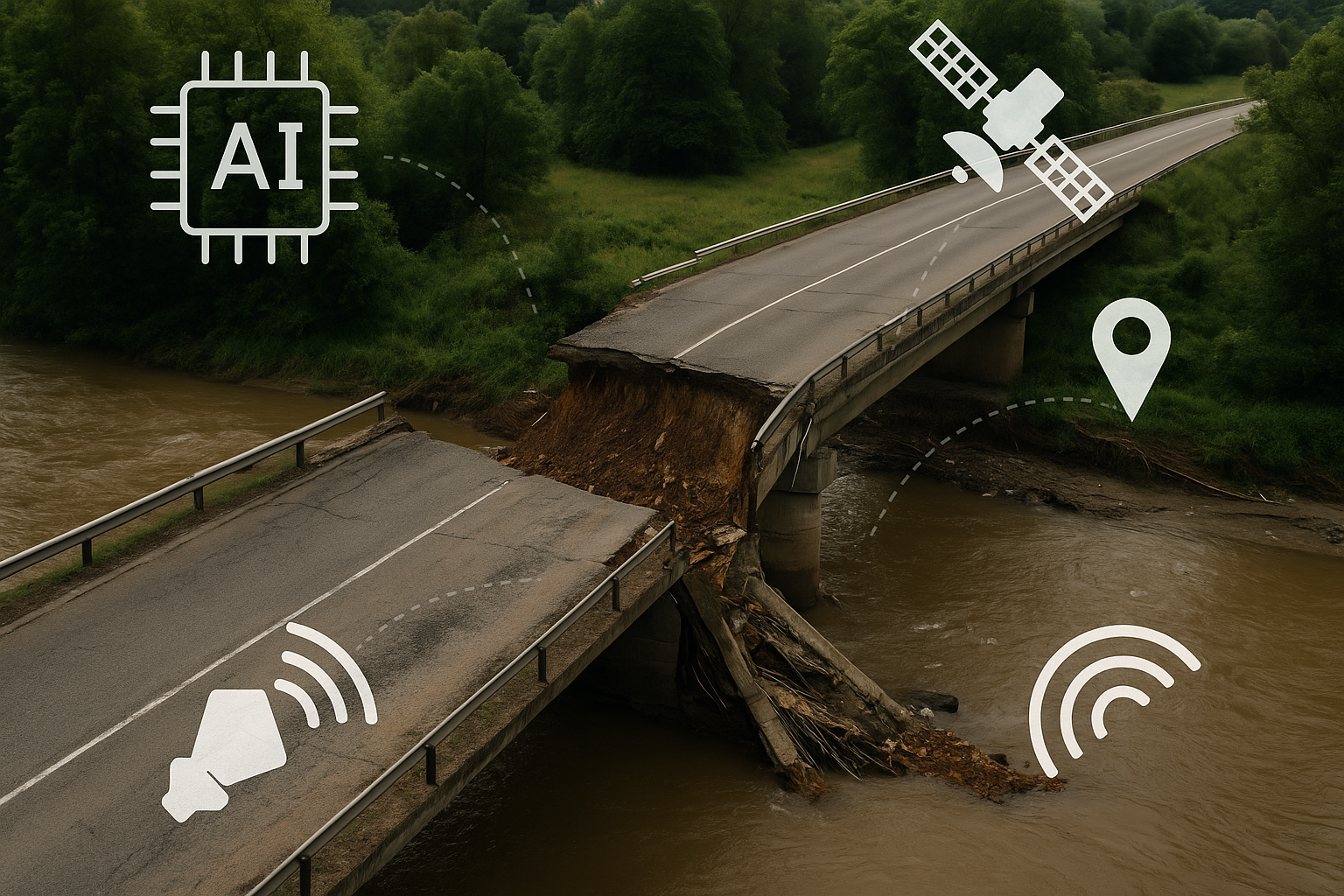
As extreme climate events and geopolitical shocks test the limits of global infrastructure, AI and remote sensing technologies are emerging as indispensable tools for preemptive assessment and real-time disaster response. A new research paper submitted on arXiv outlines a roadmap for leveraging satellite data, particularly Synthetic Aperture Radar (SAR), and advanced AI models to enable rapid damage assessment and long-term structural monitoring.
The study, titled "AI and Remote Sensing for Resilient and Sustainable Built Environments: A Review of Current Methods, Open Data and Future Directions," offers one of the most comprehensive assessments to date of how emerging digital tools can address vulnerabilities in transport systems, focusing particularly on bridges and road networks exposed to extreme weather events and hybrid threats.
How can AI be used to detect and classify damage in transport infrastructure?
The review reveals an accelerating trend in the application of AI to assess damage to civil infrastructure. A wide range of AI models, including traditional machine learning techniques and deep learning frameworks like YOLO, CNNs, and U-Net, have been deployed for analyzing road and bridge conditions. These models are trained on diverse datasets that capture types of damage such as cracks, potholes, deflection, and spalling across different infrastructure categories.
Road damage detection has seen the most extensive development, with numerous publicly available datasets facilitating AI training and validation. Data from international road damage challenges, such as RDD2020 and RDD2022, have been instrumental in developing lightweight, high-performing models. The accessibility of smartphone-based data collection for roads has also accelerated innovation, making it easier to assemble large annotated datasets compared to those required for bridges or buildings.
On the other hand, bridge damage detection remains less developed due to the scarcity of high-resolution and SAR-compatible datasets. Nonetheless, the study cites the use of CNNs, probabilistic autoencoders, spectrogram-based classifiers, and time-frequency analysis tools as promising approaches. These models target damage types specific to bridges, primarily deflection, deformation, and displacement, and are often enhanced by sensor data such as laser measurements and inclinometer readings.
AI-based classification systems are now capable of not only detecting visible damage but also inferring structural health through indirect signals. A notable shift has been observed toward self-supervised learning, few-shot models, and hybrid approaches that combine visual cues with time-series data, further widening the scope of AI in infrastructure diagnostics.
What role does synthetic aperture radar (SAR) play in infrastructure monitoring?
While AI models excel in classification and object detection, their capabilities are significantly enhanced when integrated with remote sensing technologies, especially SAR. The review underscores the untapped potential of SAR in providing consistent, high-resolution imagery in conditions where optical systems fail, such as during cloud cover, nighttime, or in disaster-hit areas.
The integration of SAR with AI remains underexplored but holds immense promise. SAR's multi-temporal and interferometric variants, MTInSAR, InSAR, and D-TomoSAR, enable precise measurement of surface displacement and structural deformation over time. These are critical for monitoring bridges and large-scale road networks, particularly in inaccessible or conflict-prone regions.
Several real-world use cases highlight SAR’s capability to detect subtle infrastructure changes caused by flooding, earthquakes, or prolonged stress. However, only a limited number of studies have successfully implemented AI models trained specifically on SAR-derived data. This gap underscores the need for more collaborative efforts to build SAR-specific datasets that can feed into neural networks for damage assessment and forecasting.
The study also highlights coherence-based SAR techniques such as Coherence Change Detection (CCD), which can detect infrastructure anomalies by comparing radar signals captured at different time intervals. While CCD is increasingly used in disaster monitoring, its combination with AI remains rare, pointing to a critical research opportunity.
Despite the promise, SAR adoption faces barriers including complex data interpretation, atmospheric distortion, and intensive computational requirements. Initiatives like AI4SAR aim to automate SAR data processing using AI, offering a path toward real-time or near-real-time analytics for infrastructure resilience.
How do data gaps and natural hazard types shape future research priorities?
The research draws attention to significant disparities in the availability and quality of datasets across infrastructure categories. Road datasets are abundant and easy to collect, while those for bridges and buildings, particularly under SAR protocols, are either proprietary or fragmented. This imbalance limits the scalability and validation of AI models in critical sectors like bridge monitoring.
The study also categorizes datasets and AI applications based on the types of natural hazards they address. Floods and hurricanes dominate the current research landscape, followed by earthquakes and human-induced events. New multimodal datasets such as BRIGHT and Incidents1M represent recent efforts to compile globally distributed, disaster-specific imagery for AI training. However, most still rely on optical satellite data, which presents limitations in conditions of poor visibility or urgency.
Ethical considerations are also highlighted. AI models trained on biased datasets risk reinforcing systemic inequalities, especially when damage assessments inform decisions on infrastructure repairs and resource allocation. Fairness, transparency, and accountability are emphasized as necessary attributes for any AI-driven solution in this space.
The study also offers a few recommendations, including the creation of harmonized datasets for bridges, the development of AI frameworks that combine multiple sensor modalities, and increased investment in tools that can automate SAR data interpretation. Moreover, standardizing metrics for data quality and model validation is considered essential for widespread adoption.
- READ MORE ON:
- Artificial Intelligence in infrastructure monitoring
- AI for disaster resilience
- Remote sensing for transport systems
- Integrating SAR with AI for infrastructure assessment
- AI-based structural damage classification
- Machine learning for transport infrastructure safety
- Real-time infrastructure monitoring technologies
- FIRST PUBLISHED IN:
- Devdiscourse


