When Hot Pixels Lie: How Satellite Data Misleads Urban Heat Adaptation Efforts
The study warns that satellite-derived land surface temperature (LST) data, widely used to map urban heat, misrepresents actual human heat exposure and can misguide climate adaptation policies. It urges using LST cautiously, integrating it with ground and atmospheric data to create human-centered, scientifically sound urban heat assessments.
The study conducted by researchers from the Jiangsu Provincial Key Laboratory of Geographic Information Science and Technology at Nanjing University (China), Ruhr-University Bochum (Germany), Pacific Northwest National Laboratory (USA), École Polytechnique (France), University of Guelph (Canada), CIEMAT (Spain), and the University of New South Wales (Australia), deliver a striking critique of how satellite-derived land surface temperature (LST) data have come to dominate assessments of urban heat, and how this dominance is quietly distorting global climate adaptation strategies. The researchers argue that while LST offers a visually compelling picture of “hot” cities, it is a deeply misleading representation of what people actually experience.
When Global Warming Meets Urbanization
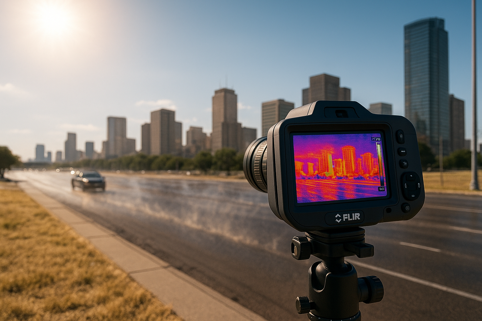
As cities expand and the planet warms, billions face rising heat exposure that threatens health, productivity, and infrastructure. Yet the science guiding adaptation relies heavily on flawed indicators. Satellite thermal data, particularly LST, have become the default measure for identifying urban “hotspots.” These datasets are globally available, easily processed, and visually striking, offering colourful maps that seem to capture the geography of heat. But what LST actually records is the radiative temperature of surfaces such as rooftops, pavements, and treetops, not the air temperature felt by humans. The difference is critical: surface air temperature (SAT), measured about two metres above the ground, integrates wind, humidity, and shading, the true determinants of thermal comfort. Confusing LST with SAT, the paper warns, has led to a widespread illusion that risks inflating the perceived benefits of cooling interventions and misdirecting adaptation funds.
The Science Behind the Disconnect
Satellite sensors measure only the longwave radiation emitted from the Earth’s outermost surfaces, capturing a snapshot at the time of their overpass, often once or twice daily under clear skies. This method misses nighttime conditions and fails under clouds, meaning the very periods of highest human health risk are ignored. Each LST pixel mixes signals from multiple materials with different emissivities, while the satellite’s viewing angle introduces further distortions due to shadows and reflections in the three-dimensional urban environment. The result is a dataset riddled with temporal gaps, angular biases, and spatial mixing.
These technical limitations produce huge discrepancies: in daytime, LST can exceed SAT by up to 30°C, while at night it can fall below it. In real examples from Paris, Beijing, and Rome, the study shows that “hot zones” on satellite maps do not match the neighbourhoods where people experience the worst heat. The correlation between LST and air temperature collapses especially during clear, dry, sunny days , exactly when the risk of heat stress is highest.
How Misinterpretation Warps Policy and Design
The paper identifies four major fields where reliance on LST leads to policy errors. First is public health, where LST has a weak relationship to physiological heat stress because it omits humidity, radiation, and wind, the very elements that determine human discomfort. This means that adaptation plans based on LST maps may target the wrong communities. Second is building energy design, since satellites largely capture rooftops while missing walls and shaded surfaces. A hot roof in an LST image could belong to a well-insulated building with minimal cooling needs, while an uninsulated structure might appear “cooler” yet consume far more energy.
Third, in urban greening and cooling strategies, vegetation often appears highly effective in LST maps because evapotranspiration suppresses surface temperature. But its real impact on air temperature and comfort is much smaller. Reflective pavements show the reverse problem; they look cooler from space but increase glare and radiation exposure for pedestrians. Finally, even the urban heat island (UHI) concept is distorted. The LST-based “surface UHI” peaks in midday sun, while the air-temperature-based “canopy UHI,” which drives nighttime mortality, peaks after sunset. Treating them as equivalent misrepresents when and where urban heat poses the greatest danger.
A Call for Clarity and Integration
The authors do not outright reject the use of LST but instead call for scientific discipline and transparency. Any study using LST, they argue, must clearly label it as surface temperature and explicitly note what it represents and what it does not. Ambiguous phrases like “temperature” or “cooling” should be replaced with “LST-based temperature” or “LST-based cooling.” On the technical front, new satellite missions such as Himawari, GOES-R, SDGSAT-1, and TRISHNA are improving both resolution and frequency. At the same time, data fusion from multiple sensors and unmanned aerial vehicles can help correct LST’s angular and temporal limitations. The researchers propose developing application-specific indicators, complete urban surface temperature for energy exchanges, pedestrian-level temperature for human exposure, and building-surface temperature for energy modeling. Integrating these refined measures with reanalysis data, ground observations, and advanced machine learning could yield more accurate and human-relevant metrics such as the Heat Index and Universal Thermal Climate Index (UTCI).
Beyond the Mirage of Hot Pixels
Ultimately, the authors call for a cultural shift in how science and policy approach urban heat. Remote sensing experts, urban climatologists, architects, and public health officials must collaborate to interpret LST data responsibly. While satellites have revolutionized the mapping of thermal landscapes, they cannot capture the complex interplay of shade, humidity, wind, and human activity that determines actual exposure. Misplaced confidence in surface heat maps could result in “cooling pixels while people swelter”, a striking metaphor that captures the core message of the study. Used alone, LST offers a mirage: visually captivating but scientifically deceptive. Used wisely, and combined with complementary data and cross-disciplinary insight, it remains a vital instrument for designing resilient cities in a warming world.
- FIRST PUBLISHED IN:
- Devdiscourse
ALSO READ
Congo's Golden Strategy: Building Reserves to Bolster Economy
Lecornu's Last Stand: Navigating France's Political Maelstrom
EU's Steel Safeguard Revamp to Bolster Domestic Industry
Security Bolstering: 1,200 CAPF Units Set for Bihar Assembly Elections
India's Strategic Leap: Bolstering Defence with Homegrown Might


