AI boosts coastal disaster preparedness with improved wave predictions
Monitoring ocean waves has long relied on buoys and satellite altimetry, which, although accurate, can be expensive to install and maintain, particularly in remote or low-income regions. These traditional tools also face operational challenges during extreme weather events, when reliable wave data is most needed.
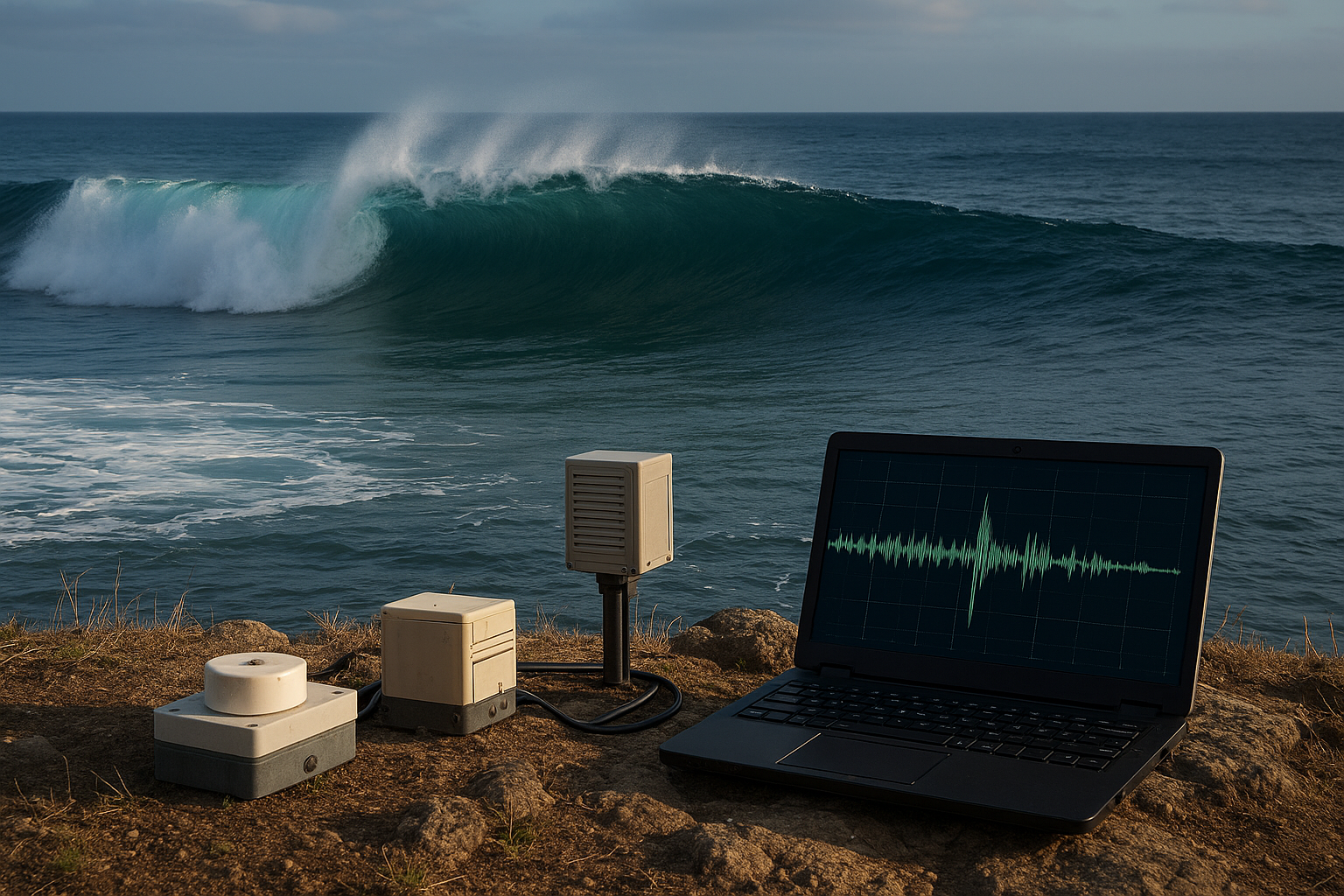
A research team has developed a cost-effective AI-based approach for estimating ocean wave heights using inland seismometer data. The study outlines how this innovation could help resource-constrained coastal regions strengthen disaster preparedness and ecosystem conservation.
The findings are presented in the paper “Enhancing Ocean Monitoring for Coastal Communities Using AI”, published in Applied Sciences. The research demonstrates that well-tuned machine learning models can convert ground vibrations, recorded by existing seismic stations, into reliable estimates of significant wave height (SWH), a crucial metric for coastal safety.
Rethinking wave monitoring for coastal communities
Monitoring ocean waves has long relied on buoys and satellite altimetry, which, although accurate, can be expensive to install and maintain, particularly in remote or low-income regions. These traditional tools also face operational challenges during extreme weather events, when reliable wave data is most needed.
The Maltese research team turned to a more accessible resource: seismic networks that already exist on land. Ocean waves generate microseisms, low-frequency vibrations that propagate through the ground and are detected by seismometers. The study explores whether these signals, processed by AI, can provide accurate and continuous wave height data.
The approach is particularly relevant for archipelagos and coastal nations that struggle to sustain marine-based monitoring infrastructure. By leveraging established seismic stations, the researchers propose a monitoring solution that is both affordable and resilient, with potential applications in early warning systems, climate adaptation policies, and long-term environmental assessments.
Building a practical and scalable AI pipeline
The study introduces a practical pipeline for predicting wave heights, stressing station-specific model tuning. Unlike previous regional models that use uniform parameters across multiple locations, the Maltese team customized each model to the local conditions of individual seismic stations. This adjustment proved essential for boosting prediction accuracy.
Key elements of the pipeline include:
-
Station-specific random forest models that can be trained and run on consumer-grade hardware without the need for advanced computing infrastructure.
-
A “longest-stretch” data selection strategy that prioritizes long, uninterrupted periods of seismic records and uses limited interpolation only when necessary. This method ensures that synthetic data remain under one percent of the dataset for most stations, reducing the risk of bias.
-
A focus on spectral features within the 0.2–0.5 Hz frequency band, where microseismic activity is most closely related to local wave dynamics.
The researchers analyzed data from 2018 to 2021 across the Sicily–Malta region, using records from European Integrated Data Archive (EIDA) stations along with two Maltese stations. After rigorous screening, seven stations were deemed suitable for model development due to the continuity and quality of their seismic data.
Demonstrated gains in prediction accuracy
To validate their method, the researchers first replicated an existing baseline model from previous literature and then applied their tailored approach. Performance was assessed using standard metrics such as the coefficient of determination (R²), mean absolute error (MAE), and root mean square error (RMSE), supplemented by five-fold cross-validation to check seasonal consistency.
The enhanced approach showed clear improvements:
- Compared to the published baseline, the Maltese team’s models achieved up to 0.133 higher R² and 0.026 meters lower MAE for the Sicily–Malta region.
- Against their own replicated baseline, station-specific tuning delivered gains of up to 0.2566 in R².
- The best-performing stations reported R² values between 0.61 and 0.92, with MAE ranging from approximately 0.10 to 0.18 meters.
Stations such as WDD, MSDA, CAVT, and MUCR yielded the most reliable predictions, while one site, AIO, lagged due to probable local noise or equipment limitations. The study also observed that higher-frequency microseismic components often improved prediction quality, while low-frequency dominance sometimes reflected signals from distant coastlines, reducing model performance.
Opportunities and challenges ahead
The research highlights several advantages of the proposed approach. By reusing existing seismic networks, coastal nations can deploy a low-cost, scalable monitoring system without waiting for expensive marine installations. The models run efficiently on standard laptops, making them feasible even in resource-constrained settings.
The system’s reliance on long-term seismic records also enables hindcasting, or reconstructing historical wave patterns. This capability is valuable for analyzing past extreme events, assessing climate change impacts, and guiding coastal infrastructure planning.
Despite these strengths, the study acknowledges some limitations. The models tended to underestimate extreme wave heights, largely due to the scarcity of such events in the training data. Local calibration and equipment quality issues also affected performance at certain stations. The authors recommend targeted data augmentation to address rare extreme events and improved quality checks for seismic inputs.
- FIRST PUBLISHED IN:
- Devdiscourse


