Remote sensing tech fuels global leap in wildfire detection and mapping
On the analytical front, machine learning and deep learning methods have become increasingly prevalent. Random forest and support vector machines were the most commonly applied algorithms among machine learning approaches. These models excel at handling complex and nonlinear data, which is common in remote sensing applications.
A new international review of nearly two decades of scientific literature has uncovered the evolving landscape of technologies used to monitor wildfires from space. The study provides a comprehensive analysis of advances in remote sensing platforms, satellite sensors, artificial intelligence algorithms, and software platforms used for wildfire mapping across the globe.
Published in Fire, the study "Remote Sensing for Wildfire Mapping: A Comprehensive Review of Advances, Platforms, and Algorithms" systematically analyzes 192 peer-reviewed journal articles from 1990 to 2024. Drawing from Scopus-indexed sources, the study identifies critical trends and tools shaping the current and future capabilities of fire detection, monitoring, and severity assessment, especially in the wake of growing climate-driven wildfire risks.
What remote sensing technologies are being used for wildfire mapping?
The study reveals that passive optical sensors, particularly from the Landsat and Sentinel satellite series, remain the most widely used tools for fire monitoring due to their consistent, wide-scale imagery and long-term data availability. Landsat satellites were employed in 55 of the reviewed studies, while Sentinel series data appeared in 43. These platforms offer essential visual, near-infrared, and thermal bands that allow for the calculation of vegetation and burn indices used to assess fire severity and post-fire vegetation recovery.
MODIS, despite offering lower spatial resolution, remains popular due to its high temporal resolution, providing near-daily coverage critical for detecting active fires. Sentinel-2, with a spatial resolution of 10 meters and a revisit cycle of just five days, has become increasingly valuable for high-precision fire assessments, especially when used alongside Landsat data for cross-validation and temporal analysis.
In contrast, active sensors such as synthetic aperture radar (SAR) and LiDAR are less common but particularly useful in cloudy or smoke-heavy environments, where optical sensors are limited. SAR is highlighted for its cloud-penetrating capabilities, making it suitable for tropical regions with frequent cloud cover. LiDAR’s role is more pronounced in post-fire analysis, where its ability to generate 3D structural data offers deeper insights into vegetation loss and topographic changes.
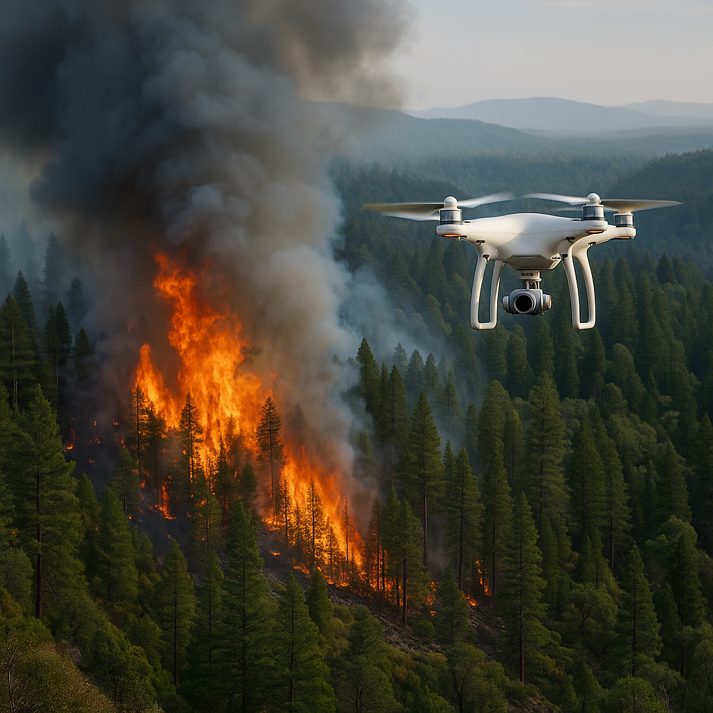
Unmanned aerial vehicles (UAVs), while only used in nine studies, are gaining traction as supplementary tools, especially for localized, high-resolution assessments. Multirotor UAVs equipped with RGB and multispectral cameras were used to map burned areas, evaluate fire severity, and monitor regrowth. Their deployment offers rapid data collection post-fire, although their application remains limited due to costs, operational constraints, and scale limitations.
Which analytical methods and indices dominate wildfire mapping?
Among vegetation and burn indices, the normalized burn ratio (NBR) was the most frequently used, appearing in 42.2% of the reviewed studies. This was followed closely by the normalized difference vegetation index (NDVI) at 39.1%, and the composite burn index (CBI) at 18.2%. These indices enable researchers to differentiate between burned and unburned areas, assess vegetation health, and measure the extent of damage and recovery.
Other indices such as SAVI, MIRBI, BAI, NDMI, and EVI were also used, each contributing additional insights into soil-vegetation dynamics, moisture levels, and burn intensity. The preference for certain indices often depends on sensor availability, regional characteristics, and the specific objectives of the study.
On the analytical front, machine learning and deep learning methods have become increasingly prevalent. Random forest and support vector machines were the most commonly applied algorithms among machine learning approaches. These models excel at handling complex and nonlinear data, which is common in remote sensing applications.
Deep learning methods, especially convolutional neural networks, were applied to classify burn severity and delineate fire-affected regions. Algorithms like ResNet, VGG16, MobileNetV2, and U-Net were used to automatically learn spatial and temporal features from satellite images. The review notes that 124 studies used more than one machine learning or deep learning algorithm, indicating a trend toward model comparison and ensemble approaches to improve prediction accuracy.
Software and platforms also showed a clear preference for established tools like ArcGIS, QGIS, and ENVI, which were used in 52 studies. Cloud-based platforms such as Google Earth Engine and Google Colab appeared in 39 studies, reflecting a shift toward scalable and collaborative processing environments capable of handling massive remote sensing datasets.
Where is research concentrated and what gaps remain?
The bibliometric analysis shows a concentration of wildfire mapping research in developed countries with robust satellite programs and research infrastructure. The United States led with 41 publications, followed by Spain, China, and Brazil. The surge in publications after 2015 coincides with the launch of Sentinel-2 satellites and increased accessibility of cloud computing platforms. The United States’ long-standing leadership is attributed to its advanced space infrastructure and legacy platforms like MODIS and Landsat. Brazil’s growing prominence is linked to the work of its national space agency INPE, which oversees real-time forest monitoring tools such as DETER.
Despite these gains, the review highlights stark disparities in research output from countries with high wildfire vulnerability but limited technological infrastructure. Peru, for instance, was represented in just one study, underscoring the need for capacity building in nations prone to forest fires but lacking access to advanced technologies or funding.
Sweden’s low publication count is attributed to its historically low fire incidence, though the review notes that changing climate conditions may warrant increased attention in the future. African countries, particularly in the equatorial belt, are underrepresented despite being ecologically vulnerable. Challenges such as persistent cloud cover, limited sensor access, and insufficient training restrict their ability to deploy remote sensing-based fire monitoring.
The authors stress that equitable access to high-resolution data, training, and computational resources remains a critical barrier to expanding the global utility of remote sensing in fire management. While commercial satellites like PlanetScope offer sub-5-meter resolution, their high costs limit adoption by public institutions. In contrast, open-access platforms such as Google Earth Engine play a democratizing role by offering accessible processing and historical satellite archives for free.
The study urges the integration of emerging technologies such as 3D convolutional neural networks, transformer models, and blockchain-based platforms for transparent resource tracking in fire response. Tools like ESA’s upcoming ROSE-L radar mission are also identified as potential game-changers for early fire detection in cloud-dense ecosystems.
- FIRST PUBLISHED IN:
- Devdiscourse


