When Poverty Maps Fail: Machine Learning Overpredicts Rural Welfare, Study Warns
The ADB–Cornell study finds that machine learning poverty maps often misfire, overestimating welfare in poor, rural, single-sector economies and underestimating it in wealthier, urban, diversified ones. While spatial models improve overall accuracy, they fail to correct these critical biases, highlighting the urgent need for better survey data and proxies to guide policy.
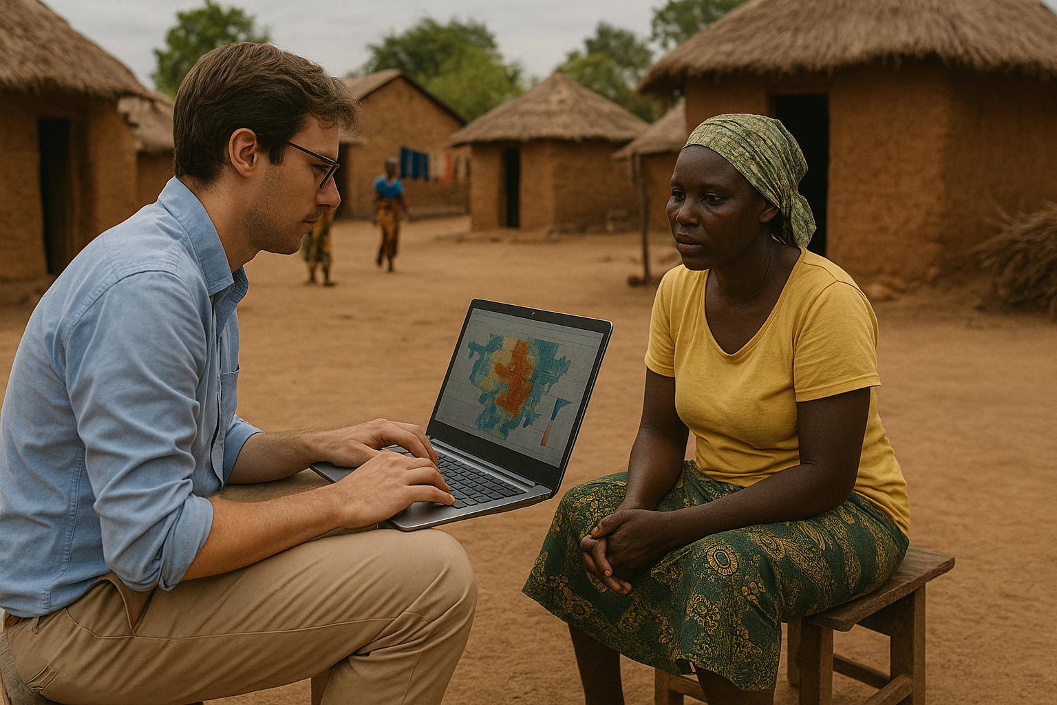
The Asian Development Bank, in collaboration with Cornell University, has released a groundbreaking study that examines both the promise and the pitfalls of using machine learning for poverty mapping. The report, authored by Yating Ru, Elizabeth Tennant, David S. Matteson, and Christopher B. Barrett, brings fresh insight into how advanced data science techniques perform when tasked with identifying the world’s poorest populations. It underscores that while machine learning coupled with geospatial big data offers new opportunities, it still fails precisely in the areas where accuracy is most critical, poor, rural, and single-sector communities.
From Small Area Estimation to Machine Learning Frontiers
The paper traces the lineage of modern poverty mapping back to small area estimation, which combined limited household surveys with census or administrative data to produce estimates for small regions. The arrival of big geospatial datasets, satellite imagery, vegetation indices, population maps, and nighttime light intensity has dramatically expanded the possibilities. These inputs feed machine learning models that fall into three categories: deep learning models trained on images, feature-based models relying on interpretable indicators, and hybrid models combining both. The ADB–Cornell team focused on feature-based approaches, seen as more transparent for policy work. Their key question was not simply how accurate these models are overall, but where they systematically fail and why.
Testing Models in Four of the Poorest Nations
The study centers on Ethiopia, Uganda, Tanzania, and Malawi, countries with some of the highest poverty rates worldwide, but also with rich Living Standards Measurement Study surveys conducted with the World Bank. Two welfare indicators were used: daily per capita consumption expenditure, expressed in international purchasing power parity dollars, and an international wealth index based on household assets. Predictors included a wide set of geospatial variables: population density, travel time to urban centers, building footprints, vegetation indices, elevation and slope, rainfall, and temperature. These have all proven valuable in past poverty mapping research. Yet the study sought to determine whether their relationship to welfare holds consistently across different locations, or whether spatial heterogeneity undermines their predictive power.
The results showed clear and troubling biases. Models consistently overestimate welfare in poor, rural, and sector-focused economies, while they underestimate it in wealthier, urban, and diversified ones. This means that villages reliant solely on agriculture might appear better off on a poverty map than they truly are, while cities with diversified economies may look worse than reality. Such biases are not trivial; they affect where governments and aid agencies target assistance and how progress toward global poverty goals is measured.
Gains from Spatial Models, But Not Enough
To address spatial heterogeneity, the researchers tested geographically weighted models, which allow coefficients to vary across space rather than imposing a uniform global fit. In interpolation, where models fill in gaps within surveyed regions, these approaches, including geographically weighted regression and random forest methods, delivered noticeable improvements. They performed especially well compared with simple linear models. Yet even here, the poorest households remained the hardest to predict accurately, and rural areas continued to be systematically overestimated. In extrapolation, where models were asked to predict poverty in countries absent from the training set, the weaknesses became starker. Uganda was the most striking case, with welfare levels consistently overpredicted when models trained on neighboring data were applied. Tanzania, relatively wealthier, experienced fewer errors, but overall accuracy still suffered.
The authors pushed further, testing refinements such as adding dummy variables for settlement type, agroecological zone, or local GDP composition, and interacting them with other predictors. They also devised a new technique called Feature Space–Weighted Random Forest, which builds local models by weighting data based on similarity in feature characteristics rather than geography. However, the improvements were marginal. The conclusion was that the central barrier lies not in the algorithms but in the lack of representative training data and weaknesses in current proxies for rural poverty.
Why It Matters for Policy and Practice
The implications of these findings are profound. As governments, donors, and humanitarian agencies increasingly rely on machine learning poverty maps to direct aid and track progress toward the Sustainable Development Goals, there is a danger that biased maps will distort priorities. Overestimating welfare in rural areas could result in resources bypassing the most vulnerable, while underestimating urban conditions could mask emerging inequalities. In the worst case, interventions designed on the basis of flawed maps could inadvertently deepen rather than reduce inequality. The authors argue strongly that machine learning should complement, not replace, traditional household surveys. Anchoring models in high-quality, representative survey data remains essential.
The broader lesson is that technology alone cannot solve the challenge of poverty measurement. Spatial heterogeneity, the fact that the relationship between geospatial features and welfare varies across ecological, economic, and institutional contexts, is not random noise but an essential signal. Ignoring it risks reinforcing blind spots. The study shows that while sophisticated algorithms sharpen precision in some contexts, they cannot compensate for the absence of good training data in the poorest places. Improving survey coverage, investing in more meaningful proxies, and ensuring that rural and marginalized communities are adequately represented in data are critical steps forward.
The ADB–Cornell collaboration concludes with a warning and a call to action. Machine learning holds an undeniable promise for producing fast, fine-grained poverty maps. But without careful attention to spatial heterogeneity and persistent data gaps, these maps risk misguiding policy. To truly serve as tools for equity, future poverty mapping efforts must prioritize inclusivity in both data collection and model design. The invisible poor cannot be left off the digital map, lest technology designed to reduce inequality ends up reinforcing it.
- FIRST PUBLISHED IN:
- Devdiscourse


