AI-Powered AgI-GAN Brings High-Res Crop Monitoring to Farmers at 60% Lower Cost
Researchers developed AgI-GAN, an AI model that enhances low-resolution airplane imagery to near-UAV quality for precision agriculture, significantly improving tree detection accuracy. This innovation reduces data collection costs by 60%, making high-resolution crop monitoring more accessible and scalable.
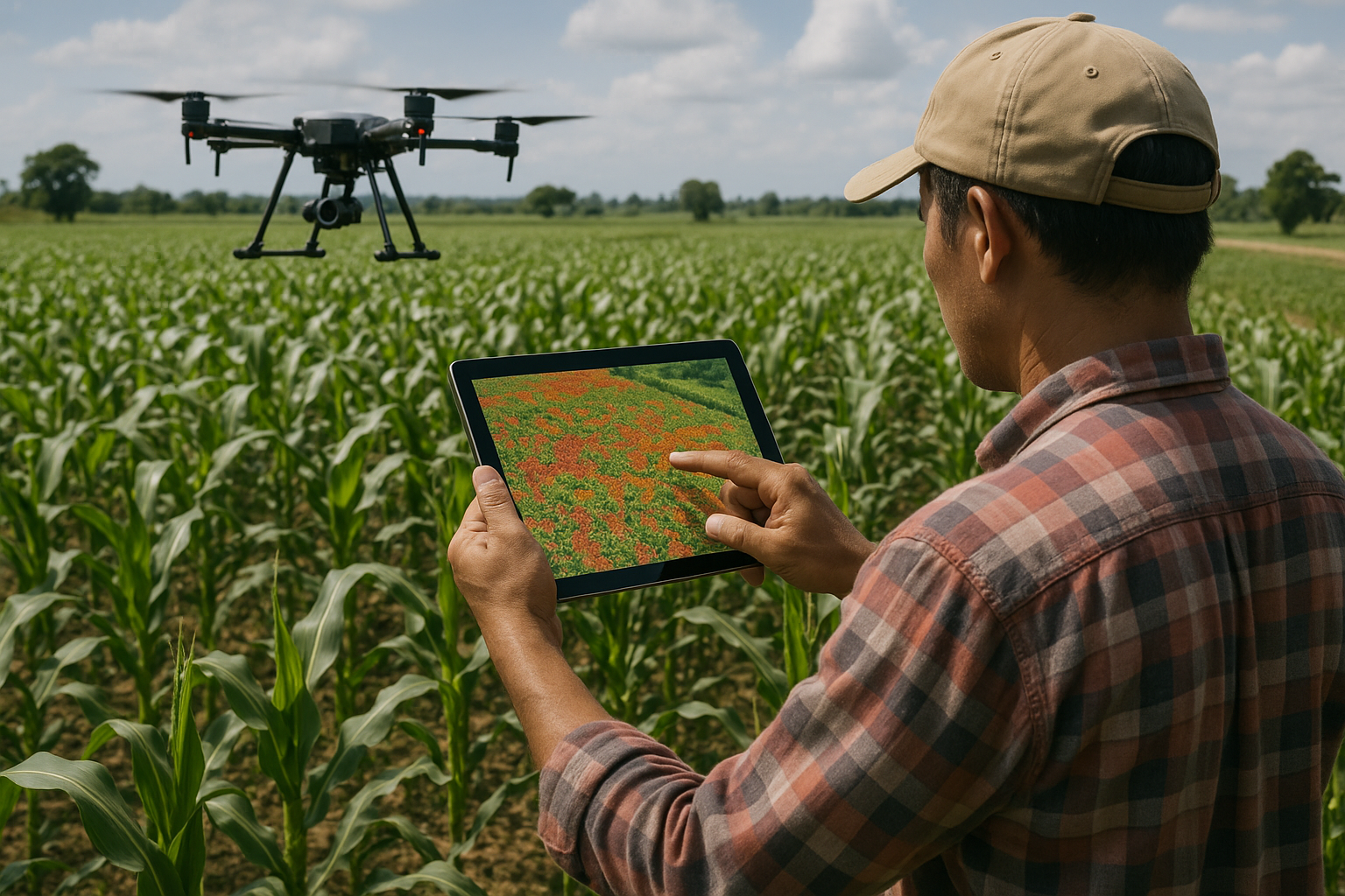
A groundbreaking study from the University of Florida has introduced a new frontier in precision agriculture, using artificial intelligence to dramatically enhance the resolution of aerial imagery. Led by researchers Christian Lacerda, Yiannis Ampatzidis, and colleagues, the team developed a novel deep learning model, AgI-GAN (Agricultural Intelligence GAN), that boosts the resolution of low-cost airplane images to match the clarity typically provided only by expensive UAV (drone) systems. This cost-efficient technique enables detailed crop monitoring over vast fields, previously impractical due to cost and scale limitations.
For specialty crops like citrus, sharp aerial imagery is vital for accurately analyzing plant health, mapping orchards, and planning interventions. While UAVs provide images at resolutions under 5 cm/pixel, they are costly and slow to deploy over large areas. In contrast, airplanes offer broader coverage and lower cost, but their lower resolution (15–50 cm/pixel) has been a major barrier. That’s where AgI-GAN steps in, enhancing airplane imagery to resolutions as fine as 3.9 cm/pixel, unlocking both quality and affordability.
AI-Powered Enhancement with GANs: A Technological Leap
AgI-GAN is built on the ESRGAN (Enhanced Super-Resolution Generative Adversarial Network) architecture and optimized for agricultural applications. The model was trained using over 131,000 UAV images, with scaled versions used to teach the network how to reconstruct high-frequency details like tree shapes and canopy textures. The training process utilized a high-performance computing system with four NVIDIA L40 GPUs, enabling efficient model refinement using PyTorch and BasicSR frameworks.
The neural network’s architecture was fine-tuned with 49 residual-in-residual dense blocks and increased feature maps to better represent intricate vegetation patterns. During training, the generator and discriminator networks learned in tandem, gradually improving the model’s ability to generate realistic, high-resolution images from lower-quality airplane inputs.
Importantly, AgI-GAN doesn’t just sharpen pixels; it reconstructs fine detail that traditional interpolation methods like bicubic smoothing fail to recover. Subjective evaluations from human judges gave similarity scores of up to 9.7 out of 10 when comparing GAN-enhanced airplane images to true UAV imagery. Objective assessments using the Fréchet Inception Distance (FID) also confirmed the model’s superiority, with enhanced images achieving lower FID scores than those resized using conventional methods.
Precision Tree Detection: Field-Tested and Proven
To evaluate AgI-GAN’s practical performance, the researchers tested it across 10 citrus orchards in Florida, comparing three sets of aerial images: unenhanced airplane images, AgI-GAN-enhanced images, and high-resolution UAV images used as the ground truth. The AI-powered Agroview platform, which detects individual trees from orthomosaics, was used to analyze detection accuracy.
The results were striking. While unenhanced airplane images produced tree detection errors ranging from 21% to over 52%, the AgI-GAN-enhanced images slashed those errors to under 10% across the board. In some orchards, the error dropped to as low as 0.4%, rivaling the accuracy of UAV-derived data. Only one orchard showed a slight overestimation in tree count, but even that deviation (−4.4%) remained well within acceptable operational margins.
These improvements have real-world consequences: better inventory management, optimized pesticide use, and more accurate yield projections. The enhanced images feed seamlessly into Agroview’s analysis pipeline, supporting functions like drawing tree-block polygons and generating plant-level metrics with higher fidelity than previously possible using airplane data alone.
Cutting Costs Without Cutting Corners
One of the most compelling findings from the study is the massive cost reduction made possible by AgI-GAN. Traditional UAV-based data collection and processing costs roughly $6.07 per acre, factoring in flight time, image stitching, and cloud computing. By contrast, airplane-based data collection enhanced with AgI-GAN costs only $2.44 per acre, representing a 60% reduction.
This economic advantage makes high-resolution analytics more accessible to large farms and growers with tight budgets. Airplanes can cover far larger areas in a single flight than UAVs, which are limited by battery life and flight regulations. With AgI-GAN, airplane imagery becomes not just viable, but optimal for cost-sensitive, large-scale agricultural monitoring.
From Trees to Tomorrow: Scaling the Future of AgTech
The study’s authors argue that the real power of GAN-enhanced imagery lies in its functional value, not just visual aesthetics. While other GAN applications strive for photorealism, AgI-GAN focuses on boosting the accuracy of AI algorithms like Agroview’s tree detection, an approach that aligns with the real needs of agricultural operations.
Looking ahead, the model could be adapted for other use cases: yield estimation, disease detection, soil health monitoring, and even post-disaster assessments. In regions like Florida, where hurricanes can devastate crops, enhanced imagery could help insurers and farmers assess damage quickly and reliably.
By marrying cost-efficiency with high-resolution analytics, AgI-GAN paves the way for broader adoption of AI in agriculture. It represents a vital step toward smarter, more sustainable farming, where technology augments decision-making at scale, turning pixels into actionable insights.
- FIRST PUBLISHED IN:
- Devdiscourse
ALSO READ
Nvidia CEO Jensen Huang at China's Supply Chain Expo
Nvidia CEO Jensen Huang says the company has won approval to sell its H20 AI computer chips to China, reports AP.
Nvidia's Strategic Return to China: Navigating AI Chip Sales
Nvidia Secures US Approval to Sell AI Chips to China Amidst Trade Tensions
Nvidia Surpasses Regulatory Hurdles: U.S. Greenlights AI Chip Sales to China


